
Reviewed · HIKING & TREKKING
Cali: Pico de Loro Trekking Adventure – Farallones de Cali
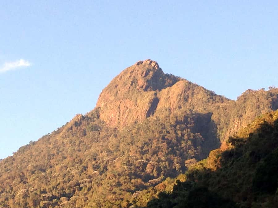
Reach for the summit, then earn the view. Pico de Loro gives you a serious day in the Farallones de Cali, with a 9-kilometer route, changing mountain conditions, and a final altitude of 2,860 meters. I like the small group of no more than seven people and the chance to learn about the park rather than simply race uphill. I also like that the entrance fee, medical assistance, and ascent are included.
The main drawback is simple: this is a hard hike, not a gentle nature walk. The final 1.5 kilometers can feel especially punishing, and the tour is offered only Monday through Friday. You must also arrange your own transport to the meeting point.
In This Review
- Key points to know before you go
- Why Pico de Loro is Cali’s big mountain challenge
- The 10-hour day starts before the mountain
- El Topacio adds meaning before the climb
- The ascent tests your legs and your pacing
- The summit brings the day’s biggest payoff
- What to wear and pack for changing conditions
- What the $49 price really covers
- Who should book this hike
- Practical strengths and fair warnings
- Should you book Pico de Loro?
- FAQ
- How long is the Pico de Loro tour?
- How high does the trail reach?
- How steep is the Pico de Loro trail?
- Is transportation included?
- What language is the tour conducted in?
- How large is the group?
- Does the tour operate in bad weather?
- Who should not take this hike?
Key points to know before you go
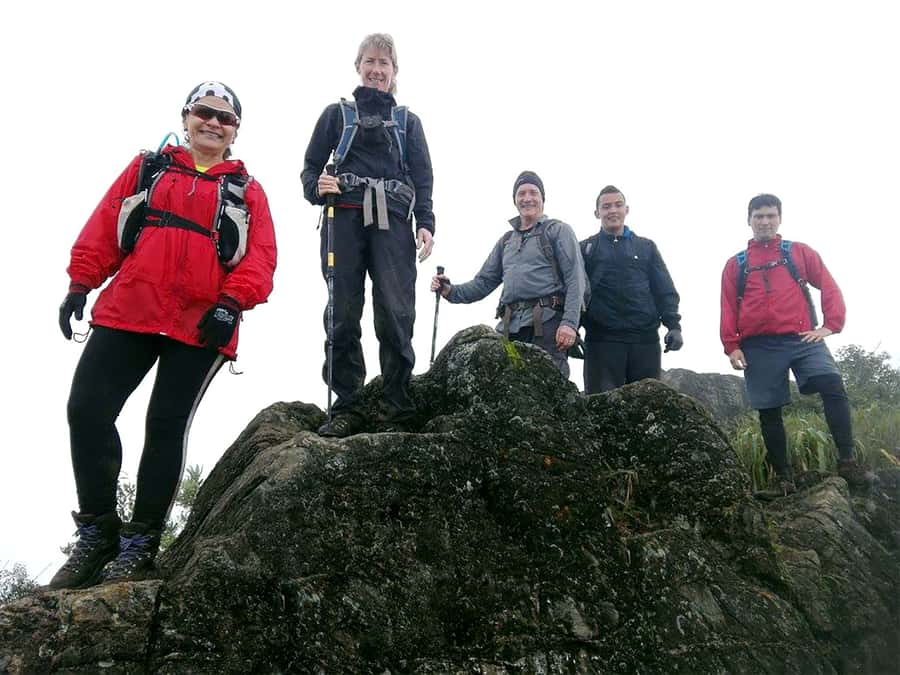
- 9 kilometers round trip: The route covers about 4.5 kilometers uphill and 4.5 kilometers back down.
- Serious elevation gain: You begin at 1,600 meters and finish at 2,860 meters above sea level.
- Steep sections: Some parts reach slopes between 45 and 75 degrees, so good grip matters.
- Spanish-speaking guides: A local guide and an expert hiking guide lead the experience.
- Nature with context: The day includes environmental interpretation, acclimatization stops, and a visit to the El Topacio environmental education center.
- Plan for weather: Rain does not cancel the tour, so waterproof packing is essential.
Why Pico de Loro is Cali’s big mountain challenge
Pico de Loro is described as the most prestigious trail in the Farallones de Cali National Natural Park. That reputation comes from the combination of effort, altitude, and scenery. You are not simply walking through a green patch outside the city. You are climbing through one of Colombia’s older protected areas, a place with four ecosystems, four thermal floors, thick jungle, and important water sources.
The mountain begins at about 1,600 meters and rises to 2,860 meters. That change is enough to affect how your body feels, even if you are used to walking. The route is only 9 kilometers in total, but distance alone does not tell the story. The steepest sections reach between 45 and 75 degrees, and the trail demands balance, leg strength, and steady breathing.
The reward is a direct encounter with the Farallones’ plant and animal life. The park is home to about 540 bird species, including species considered at risk and birds found nowhere else in the world. You may not see rare wildlife during your hike, and nobody can promise clear summit views, but the setting gives the walk a purpose beyond exercise.
That matters to me. A hard climb is easier to appreciate when you understand the forest around you. The planned stops for environmental interpretation give the guides time to explain the area, while short breaks help you manage the altitude and effort.
More hikes and treks:
- Pance Waterfalls: Hike to discover the biodiversity of the valley
★ 5.0 · 33 reviews - Cali: TRES CRUCES – Cali’s most popular hike and monument
★ 4.9 · 19 reviews - Cali: Hiking to the Pance waterfalls
★ 4.9 · 15 reviews
The 10-hour day starts before the mountain
This is a full-day activity, lasting about 10 hours. Since transport is not included, you need to reach the stated meeting point on your own. The operator does not provide pickup or drop-off at your accommodation, so allow enough time to get there without arriving rushed.
That transport issue is worth taking seriously. A long mountain day is tiring enough without adding a last-minute scramble before the start. Confirm the meeting point and starting time when you book, then plan your route in advance. Availability and start times are shown during booking.
The tour runs exclusively from Monday to Friday. That can work well if you have flexible plans, but it may be awkward if your visit to Cali is built around a weekend. The small group size, limited to seven participants, should make it easier for the guides to monitor pace and offer individual help.
The language is Spanish. The package includes both a local guide and an expert hiking guide, along with entrance to the natural reserve. If you are not comfortable following trail instructions in Spanish, consider this before paying. The guide support is a key part of the day, particularly on steep or wet sections.
El Topacio adds meaning before the climb
The itinerary includes a visit to the El Topacio environmental education center. This is more than a box-ticking stop. It gives you a chance to place the hike within the wider work of protecting the Farallones.
The park is one of 59 protected areas in Colombia. Its value comes from more than scenery. Four ecosystems and four thermal floors create different conditions for plants, birds, and other wildlife. Indigenous influence, dense jungle, and abundant water sources add cultural and environmental importance.
You should not expect a long museum visit or a separate sightseeing attraction unless the guide explains otherwise. Think of El Topacio as an educational part of the day that helps you understand where you are walking. The environmental interpretation stops during the hike continue that theme.
This is also where a small group helps. With seven people or fewer, the guide can speak to the group without the whole day feeling like a lecture. The experience remains physical, but the pauses make it more thoughtful.
The ascent tests your legs and your pacing
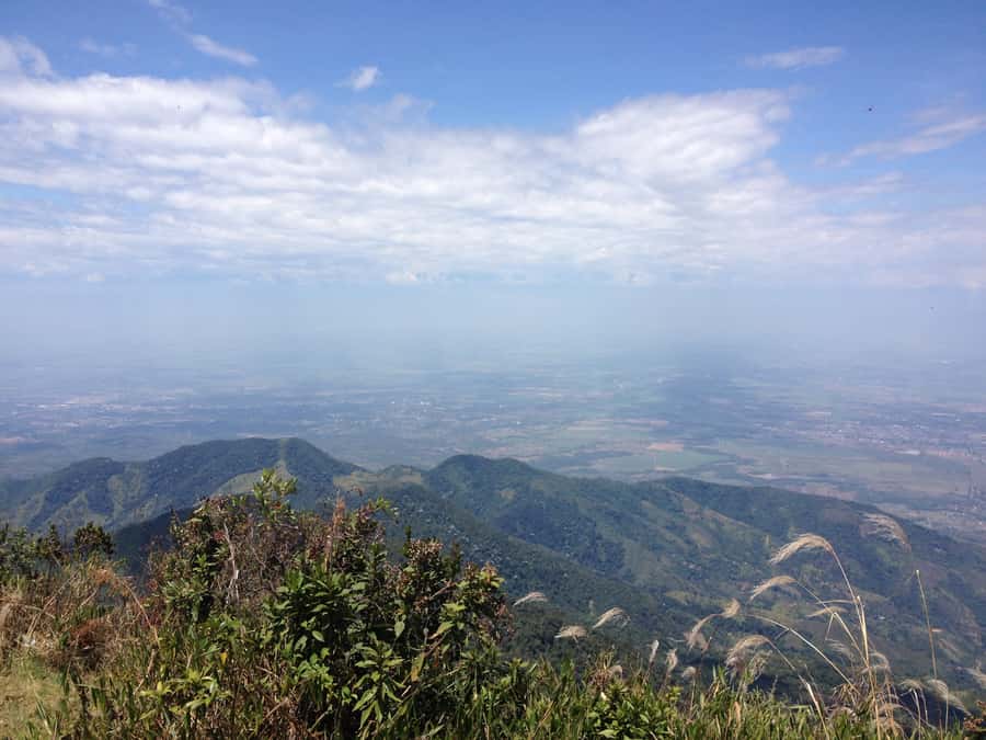
The upward route covers about 4.5 kilometers. That may sound modest, but the changing slope makes it demanding. You will gain roughly 1,260 meters in altitude from the starting point to the peak, and the trail becomes especially difficult toward the top.
The best way to approach this is with patience. Do not try to match the fastest person in the group during the first part. Use the planned short breaks to drink, breathe, and adjust your pace. The guide also uses stops for acclimatization, which is useful as the air becomes thinner and your legs begin to feel the climb.
The trail includes level changes between 45 and 75 degrees in some sectors. Those figures signal a real need for secure footing. Sports shoes with strong grip may be suitable, but hiking boots are the safer choice if you already own them. Smooth sneakers are a poor match for a route that may become wet.
A past participant described the final 1.5 kilometers as extremely hard but rewarding. That is useful advice, because the route may feel manageable at first and then become much more serious near the summit. Save energy for the upper section. This is not the place to spend your reserves early.
Walking poles are optional, but they may help on steep ground and during the descent. A camelback is also optional. At minimum, carry enough water in a pack that leaves both hands available when you need them.
A few more trips worth weighing up before you book
- Shared Tour Cali’s Historical Downtown
★ 4.8 · 143 reviews - Historical Shared Tour Salsa, Graffiti & Resistance in Cali
★ 5.0 · 107 reviews - The Cali Street Food Walking Tour
★ 5.0 · 81 reviews - San Cipriano Rainforest – River, Waterfalls and Adventure Day
★ 5.0 · 73 reviews
The summit brings the day’s biggest payoff
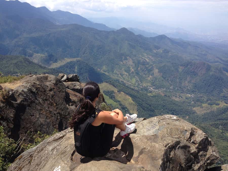
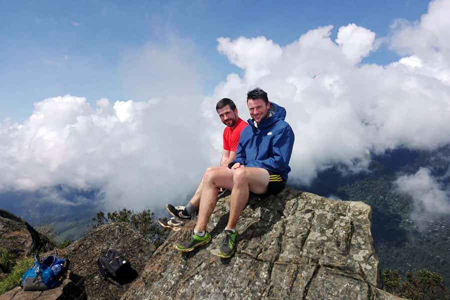
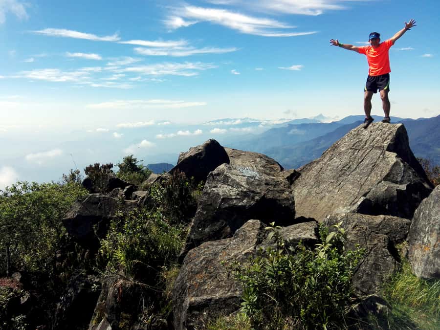
Pico de Loro reaches 2,860 meters above sea level. From this height, the views are the main prize for all the work below. The exact experience depends on weather, cloud, and visibility.
One booking took place under heavy cloud, which reduced the views but did not erase the value of the outing. That is an important expectation to set. You are paying for access to a protected mountain, a guided ascent, and the chance of broad views, not a guaranteed clear panorama.
Cloud can also make the hike feel more atmospheric, but it may leave you damp and unable to see far from the top. Bring rain protection and accept that the mountain controls the final postcard. If your top priority is a cloudless view, this tour carries some risk.
The summit is not only a photo stop. Reaching it gives you a clear sense of the route’s scale and your own effort. After the ascent, you return by the same general route, walking about 4.5 kilometers downhill. Do not underestimate this part. Descending steep ground can be hard on knees and requires just as much attention as climbing.
A participant who completed the tour advised planning nothing strenuous for the following day. I agree with that approach. Even a fit hiker may want an easy day afterward.
What to wear and pack for changing conditions
The packing list is longer than for an ordinary city excursion because the mountain can bring sun, rain, mud, insects, and cooler air at higher altitude. Wear comfortable sports clothing, with a long-sleeved shirt and long pants recommended.
Your small pack should include:
- Hiking shoes or sports shoes with good grip
- Sunscreen, sunglasses, and a sun hat
- Insect repellent
- Snacks
- Extra clothes
- A towel
- A rain poncho or waterproof jacket
- A waterproof bag or plastic bag for important items
- Water, ideally in a camelback or secure bottle
- Swimwear and sandals, if useful for the day’s conditions
The inclusion of swimwear and sandals may seem odd for a mountain trek, but they are part of the stated preparation list. Pack them only if you have room and expect to use them. The essentials are grip, rain protection, sun protection, food, and dry spare clothing.
The tour continues in bad weather rather than being canceled automatically. That changes how you should prepare. Keep your phone, identification, and spare layers protected from water. A waterproof jacket is better than relying on a thin plastic poncho, though carrying both gives you extra backup.
Bring your passport or national ID card. Entrance to the natural reserve is included, but identification remains part of the required preparation.
What the $49 price really covers
At $49 per person, the tour offers fair value if you want a guided ascent and do not want to arrange park access yourself. The price includes the natural reserve entrance fee, a local Spanish-speaking guide, an expert hiking guide, medical insurance and assistance, the El Topacio visit, and the ascent to Pico de Loro.
That bundle matters on a demanding route. You are not just buying company on a walk. You are paying for access, trail support, environmental interpretation, and basic medical coverage. The small group limit also gives the price more appeal than a large coach-style outing.
The value is less convincing if you already know the route, speak Spanish comfortably, have independent access, and prefer to hike alone. Transport is not included, and neither are extra products or services outside the stated plan. Add your own transport costs when calculating the real total.
Free cancellation is available up to 24 hours before the activity for a full refund. You can also reserve now and pay later, which helps if your weekday plans are still moving around.
Who should book this hike
This experience suits an experienced hiker in good physical condition and optimal health. You should be comfortable with long uphill effort, steep slopes, changing weather, and a full day outdoors.
You do not need to be an elite mountaineer, but you do need a sensible attitude toward fitness. If you rarely hike, the 9-kilometer distance may look harmless on paper and still feel very hard in practice. The upper 1.5 kilometers are the section to respect.
The tour is not suitable for pregnant women, people with back problems, people with mobility impairments, wheelchair users, or people with heart or respiratory problems. It is also unsuitable if you have recent fractures. The medical restrictions are not minor fine print. They reflect the steep, strenuous nature of the route.
Guide Julián is specifically praised for patience, respect, helpful explanations, and attention to each person’s walking ability. Those qualities matter in a small group, where different fitness levels can affect the whole pace. You should still ask who will lead your date, since guide assignments can change.
Practical strengths and fair warnings
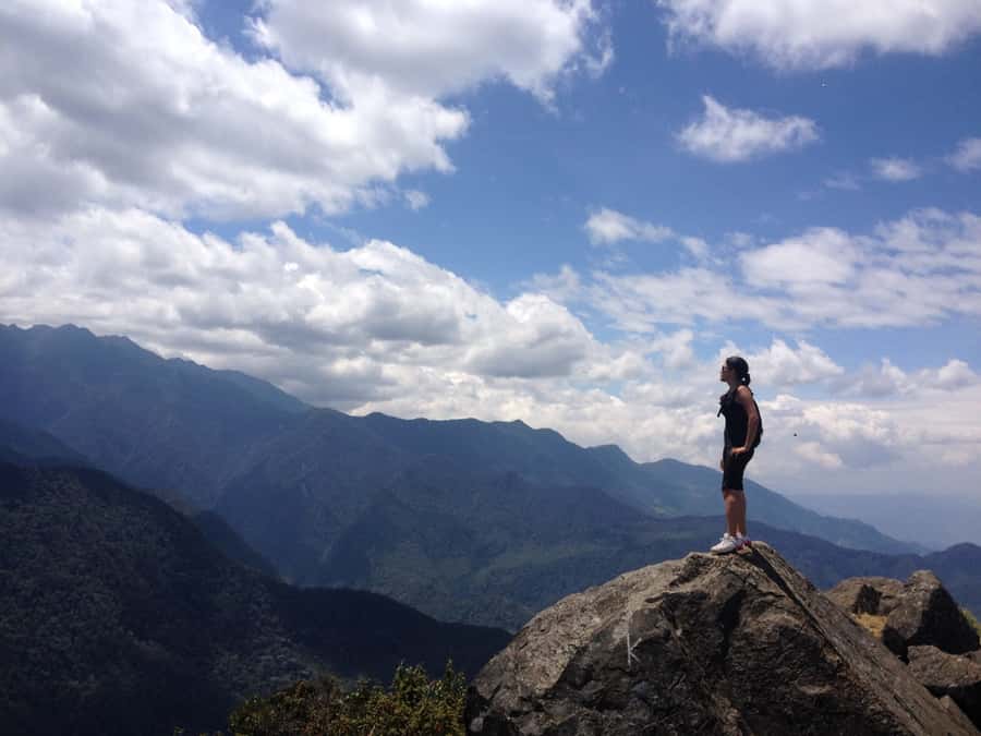
The strongest part of this experience is the blend of challenge and learning. You get a real mountain objective, but the day also includes the park’s ecology and conservation work. The guides make planned pauses for interpretation and acclimatization rather than treating rest as wasted time.
The second strength is the group size. Seven people is small enough for closer supervision and a more personal pace. It also makes it easier to ask questions in Spanish and hear the guide during forest stops.
The main weaknesses are the fixed weekday schedule, lack of included transport, and uncertain weather. The trail is not softened for casual walkers, and cloud may hide the view after all your effort. You should book this because you want a demanding day in nature, not because you expect a guaranteed summit photograph.
Should you book Pico de Loro?
Book it if you are fit, experienced with steep hiking, and keen to see a more rugged side of Cali. The $49 price is reasonable for the guide support, park access, medical assistance, and small group, especially if you value explanations about the Farallones rather than a self-guided climb.
Skip it if you have heart, respiratory, back, or mobility concerns, or if your idea of a vacation hike is a relaxed stroll. Also skip it if you need a weekend activity or do not want to arrange your own transport. For the right hiker, Pico de Loro offers a hard-earned mountain day, with enough natural and environmental context to make the effort worthwhile.
FAQ
How long is the Pico de Loro tour?
The activity lasts about 10 hours. The walking distance is approximately 9 kilometers in total, including 4.5 kilometers of ascent and 4.5 kilometers of descent.
How high does the trail reach?
The trail starts at about 1,600 meters above sea level and reaches a final altitude of 2,860 meters.
How steep is the Pico de Loro trail?
Some sections have changes in level between 45 and 75 degrees. Good-grip sports shoes or hiking boots are recommended.
Is transportation included?
No. You must make your own way to the meeting point. Pickup and drop-off at your accommodation are not included.
What language is the tour conducted in?
The local guide and expert hiking guide speak Spanish.
How large is the group?
The tour is limited to seven participants.
Does the tour operate in bad weather?
The tour is not canceled in case of bad weather. Bring waterproof clothing and protect items in your pack with a waterproof or plastic bag.
Who should not take this hike?
The activity is not suitable for pregnant women, wheelchair users, people with mobility impairments, back problems, heart problems, respiratory problems, recent fractures, or anyone not in good physical condition and optimal health.
Just added around Cali
- Cali: Two hours walking Cali City discovery tour★ 5.0 · 3 reviews
- From Cali: Whale Watching Day Trip in Buenaventura★ 4.6 · 3 reviews
- Cali: Three hours walking Cali City discovery tour★ 4.7 · 3 reviews
- Cali: Comuna 20 Siloé Street Art Tour★ 5.0 · 4 reviews
- Craft Beer Pub Crawl in Cali★ 5.0 · 4 reviews
- Private Tour on a 1100cc Cruiser Motorcycle★ 5.0 · 4 reviews
- Flavors of Cali: Food tour at the local market★ 5.0 · 5 reviews
- Cali: Bird Watching in The San Antonio Fog Forest★ 4.5 · 5 reviews
Hiking & Trekking, compared.
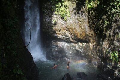
Private tour: hiking to the crystalline MELCOCHO river from MEDELLÍN
Read our review →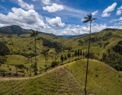
Salento/Pereira: Cocora Valley & Salento Hiking Private Tour
Read our review →
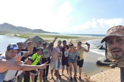
Guided Hiking through Tayrona National Park and Cabo San Juan
Read our review →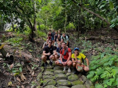
Trekking History and Indigenous Heritage in Minca + Cacao & Coffee + Waterfall
Read our review →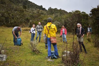
Hiking to the largest paramo on earth : Sumapaz
Read our review →Browse the lists this tour appears in